About Çayeli
Çayeli It is a district of Rize located in the Black Sea Region. Çayeli is located 18 km east of Rize. The surface area is 473 km2.
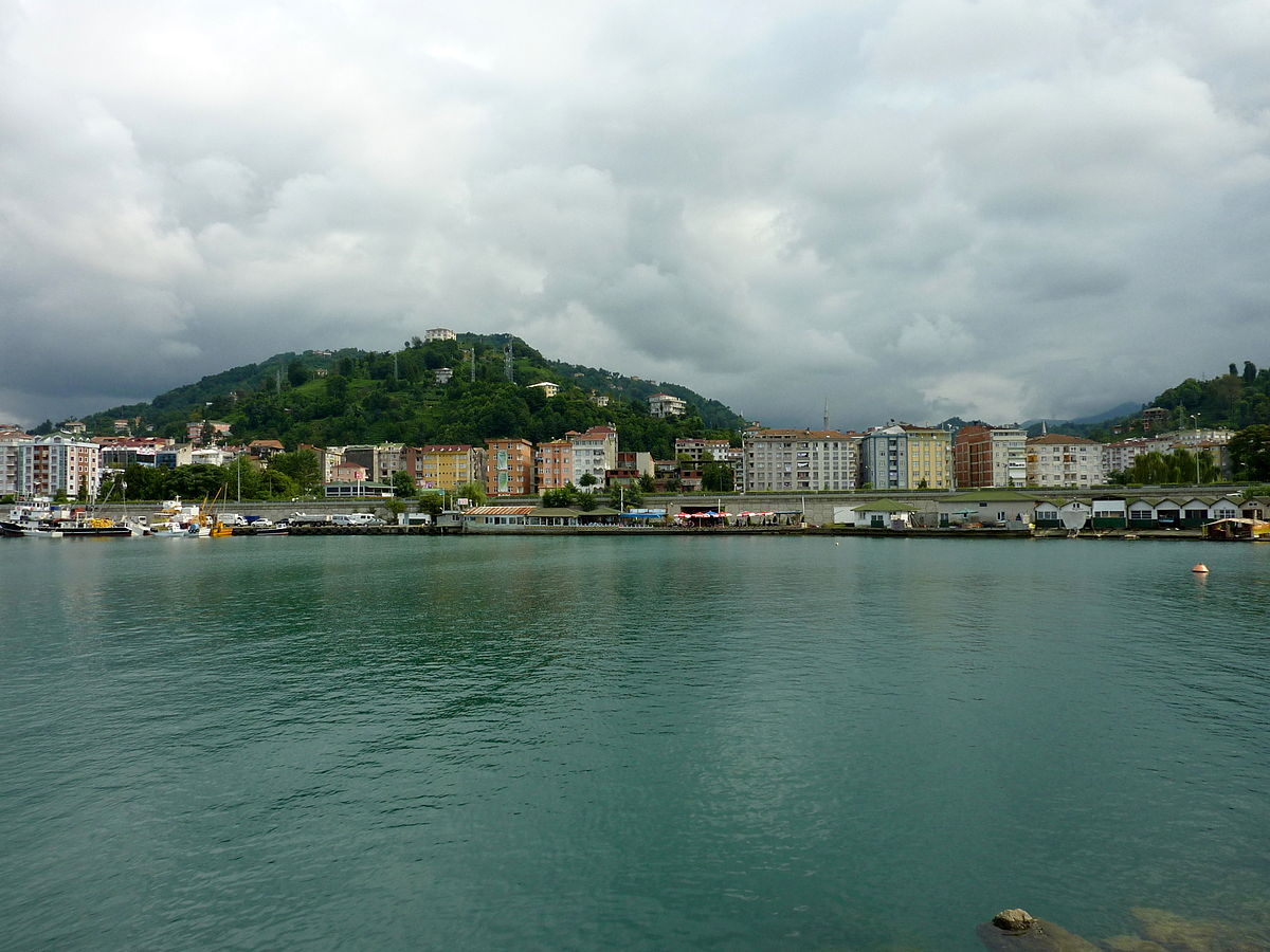
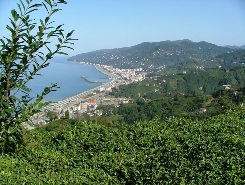
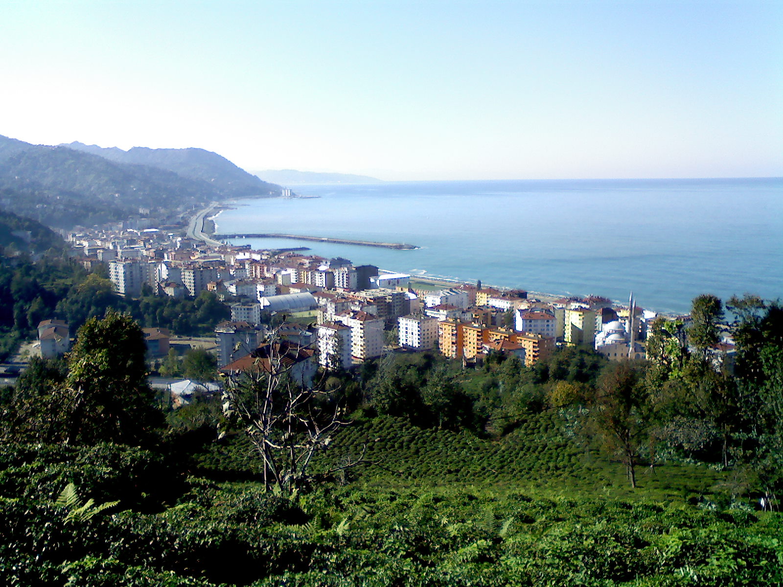
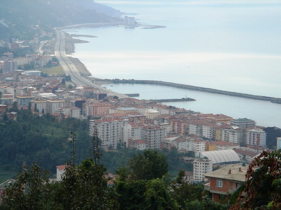
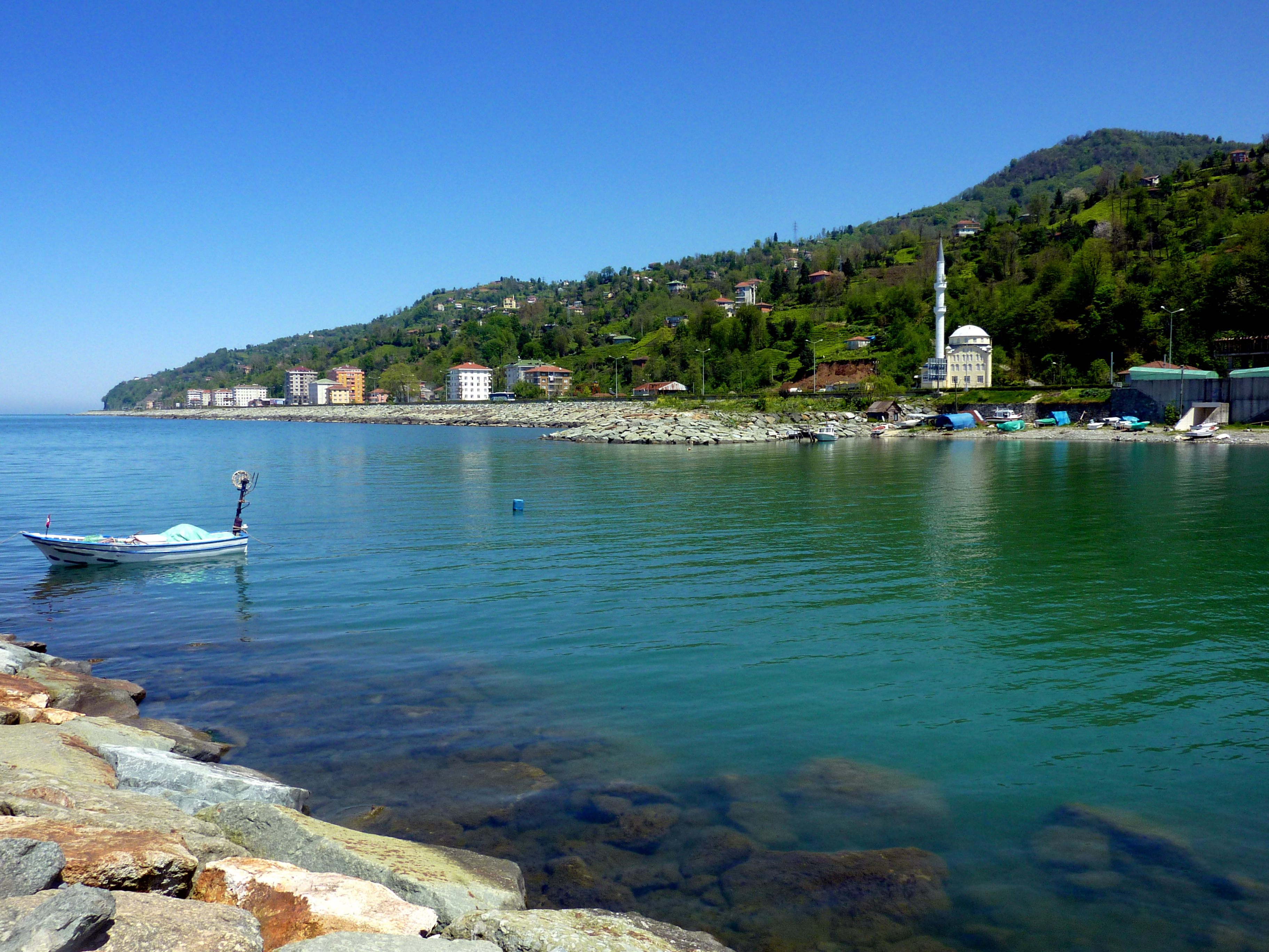
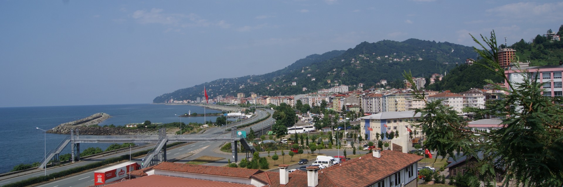
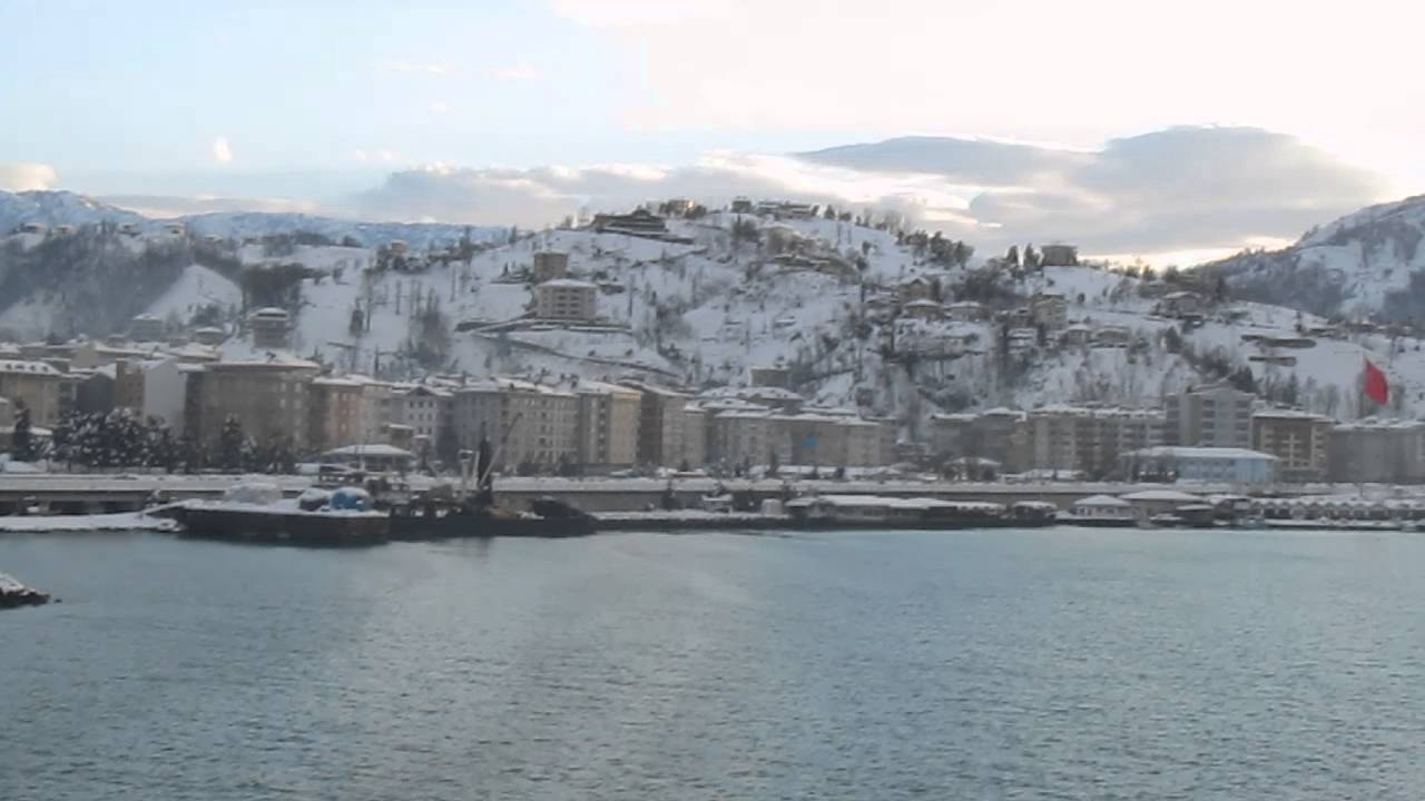
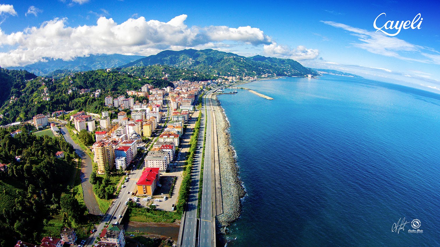
Çayeli is a district of Rize in the Black Sea Region. Çayeli is located 18 km east of Rize. The surface area is 473 km2. It is surrounded by Çamlıhemşin and İkizdere from the south, the central districts of Rize from the west and the Black Sea from the north. It is a typical eastern Black Sea coastal area with a narrow coastal strip and a mountain line parallel to the sea rising just behind it.
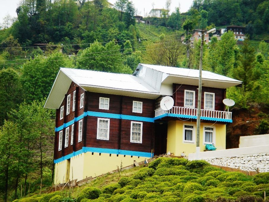
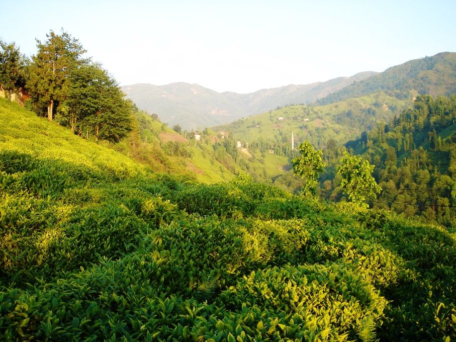
Much of it is covered by the Rize Mountains, which form the highest part of the Eastern Black Sea Mountains. At the south end, the altitude exceeds 2,000 m. It is based on the provincial economy's base tea production. Before the tea production in the region started, the main product was corn. The only area in Çayeli that is favorable to both settlement and vegetative breeding is the narrow shoreline.
A large part of the population is gathered here, and tea plantation is concentrated in this area. Two-thirds of the tea plantation area in the province of Rize in Turkey, it also is within the limits of 18% of Cayeli district.
Çayeli was founded in 700 BC by the Miletos. Roman, Byzantine and Greek Pontus entered the sovereignty respectively. In 1461 II. Mehmet (Fatih) joined the Ottoman lands. In 1622 Abaza was attacked by pirates and plundered. Semsettin Sami refers to Kamasü'l-Alam as Çaveli, whose name is called Mapavri, as "a town connected to the Rize Accident of the Lazian shack of the Trabzon province". The area under Russian occupation during World War I 9 March 1918 Read the 1918 year events, deaths, births and other important developments (new window opens) He escaped the occupation. Çayeli In 1878 the town was named as Çaybaşı in 1944. Later the name was changed to Çayeli.
Where is Çayeli?